The geomatics surveying from Applus+ offers its clients a significant advantage with our expertise in GIS data collection and analysis. We can provide customised web solutions, offer integration into InSite and assist with linking GIS data to other databases to expand its usefulness. In terms of added value, Applus+ has a wide global footprint for providing geomatics surveying services; a strong in-house GPS certification process for GIS data collection and management; and customised GIS mapping solutions. Applus+ has established GIS processes and workflows which allow a relatively small team to collect and manage a large amount of data. We have also worked with ESRI’s latest JavaScript offering, which enables a 3D view of GIS data within the web browser.
Geomatics surveying and GIS mapping have many business applications. The majority of our GIS mapping work consists of documenting existing assets. We also perform pipeline GIS mapping to track and document construction projects, routing/easement and optimisation of pipeline routes. Geomatics surveying also has many uses in the field of environmental regulation and compliance.
The benefits of deploying a team of GIS surveying and geomatics experts from Applus+ include:
- An understanding of existing assets
- Enhanced planning of new construction for pipeline routes, roads, tunnels and proximity to sensitive receptors
- Linking of GID data collection and geospatial data to external databases, which can provide greater insight ad better GIS analysis into the relationships between separate aspects of business
- Accessing GIS data collection on a secure, hosted platform within the browser
- Cost savings from greater efficiency
- More effective decision making
- Enhanced communication
- Enhanced asset integrity management for large operations, geographically spread
GIS Mapping
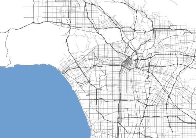
Applus+ currently uses geographic information systems (GIS) to map and track all field assets. Assets include pipelines, fittings, gauge settings, lease information, tank farms, cogen plants, and sensitive receptors. Applus+ utilizes industry-standard ESRI software to maintain and edit collected data. This data can be made available via the InSite Data Analysis application, transferred directly to the client, or served as a hybrid solution. Field collections are performed by trained and certified GPS Technicians with Trimble GEO units with accuracy down to 1 foot. We have been performing this service since 2007, and we have become a reference for our GIS work.
GIS Mapping
DOWNLOAD PDF VERSION3D Surveying
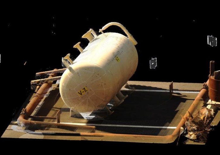
Laser NDT scanning of a site or facility generates a 'point cloud', which serves as the platform for a series of deliverables. The laser scanned point cloud
itself is spatially aware and can capture measurements across all planes. Common laser scan to point cloud applications include as-built documentation, job planning, safety planning, phased construction planning, fit and clash detection, planar analysis, tank inspection and analysis and QA/QC for the fabrication industry. Once the field-scanning portion is completed, we can generate multiple deliverables for the client. The point cloud itself is inter-operable with industry leading vendors such as AutoDesk, Aveva PDS, Bentley, InoVX, ESRI, etc.